* MAPS*


(Click on image to see full size)
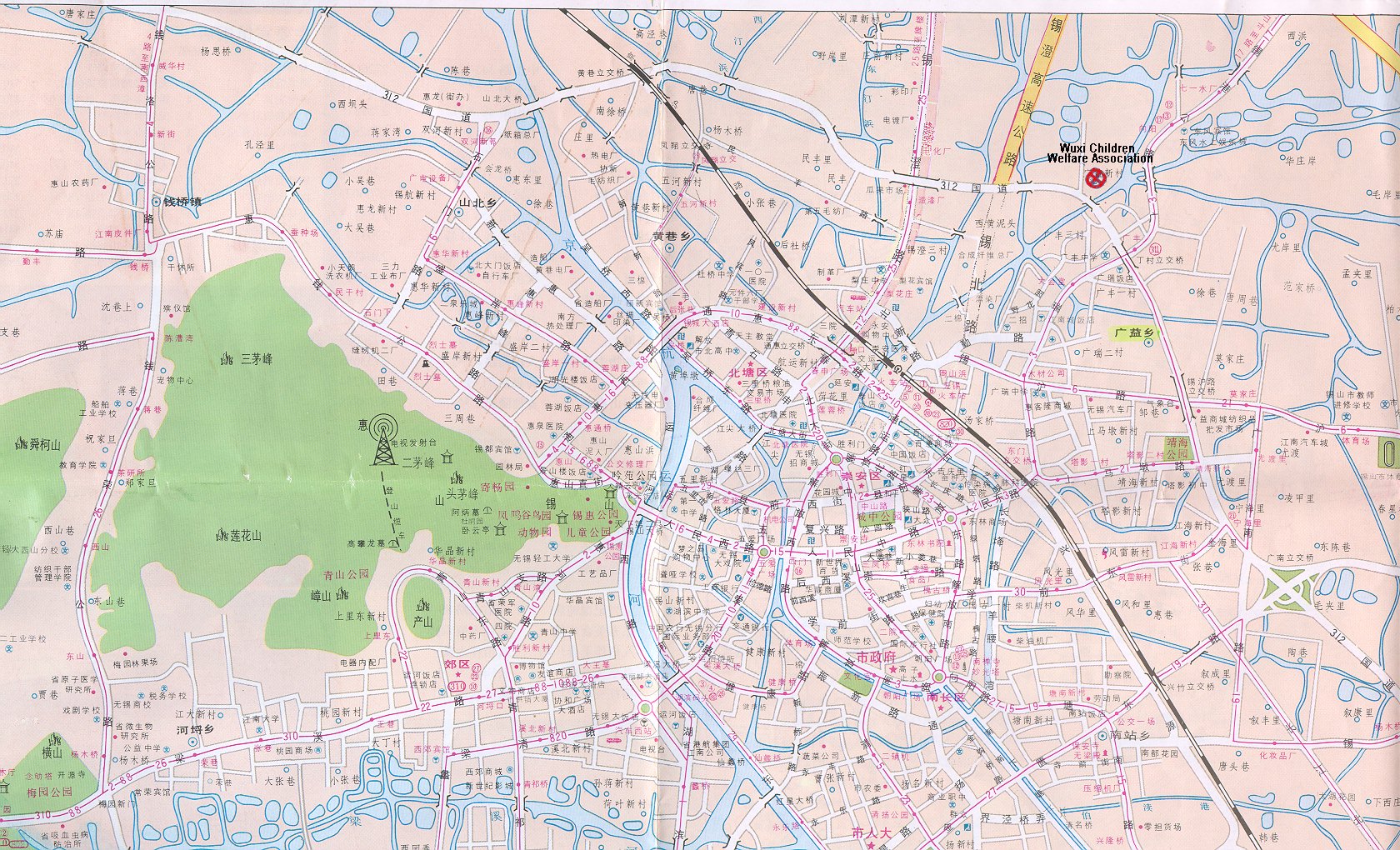
This map has Welfare Association marked in Red.
(image is twice this size if you download to print)
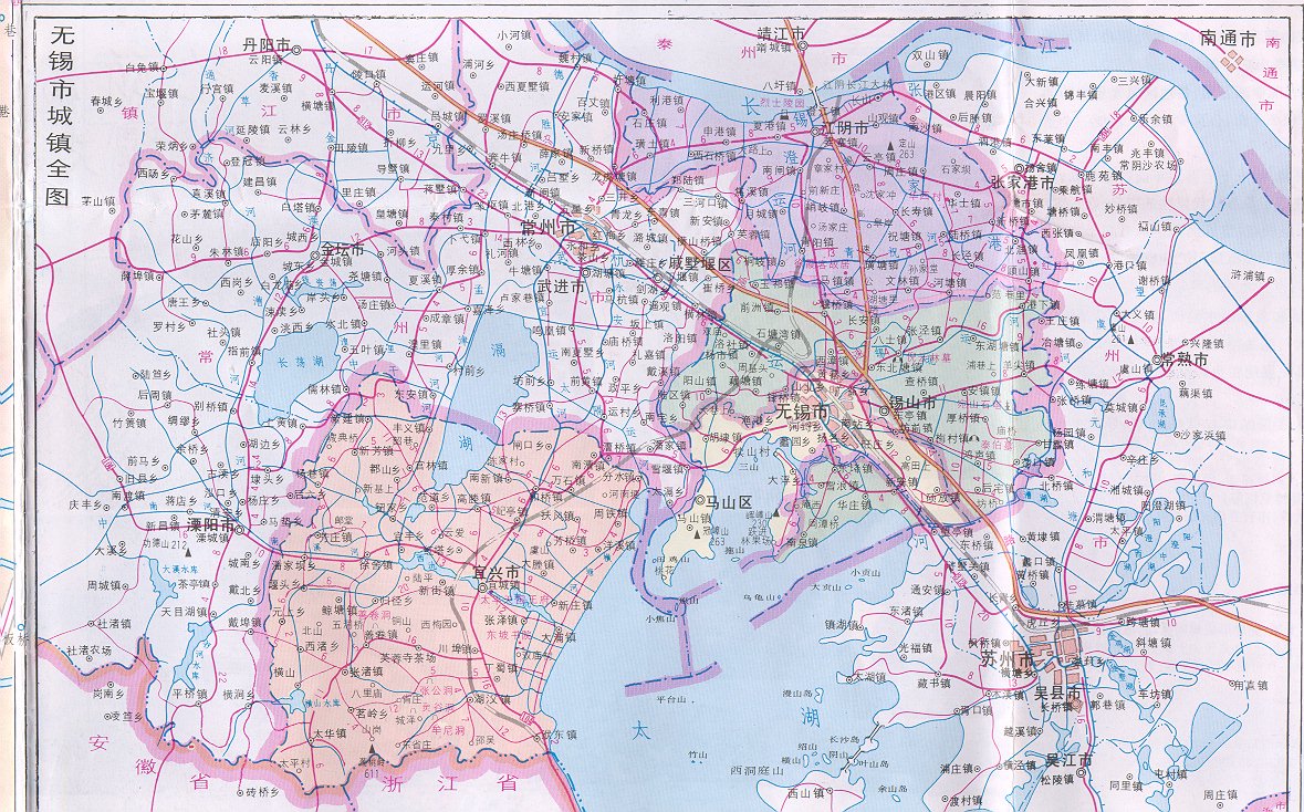
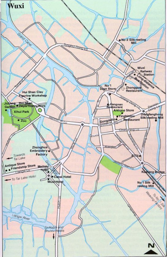
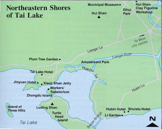
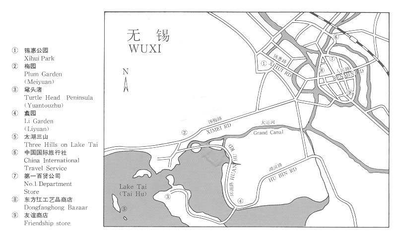
This map is of WuXi and the surounding area around it. (image is twice this size if you download to print)
If anyone as better city maps of Wuxi and/or can point out certain interest
points
(ie: Orphanage, Notary Office, etc.)
please e-mail me to work out how I could get a copy to put on this
page, or where location on the map is!
Thanks, Jim Lowary - Jim@Lowary.org